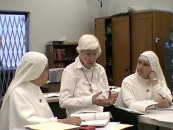
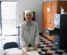
 Here is the National Geographic map of Antarctica which started our students' interest in the frozen continent. We used it as a part of our map reading/geography class. The other photo is of my desk area where we display the Antarctica map on the wall and have our Antarc
 tica Bullentin Board. I change the photos on the board whenever we get new images emailed to us from our pen pals in the United States Antarctica Program (USAP) at the South Pole Station -- Amundsen Scott Base. Our students get to see all the Antarctica photos sent to us in this way, and visitors to our school are amazed at the great photos from the South Pole Station. I took a photo of our bulletin board with the USAP photos on it and emailed it back to the South Pole. One of our friends there thought it was cool.
--- Adrian


